Service Locator Central Coast
Certified service locating across the Central Coast, from Gosford to Wyong. We find and mark power, water, gas, NBN, sewer and stormwater before you dig.
Click to contact us or call 1300 778 923
Smartscan Locators provides certified service locating on the Central Coast for builders, civil contractors, plumbers, electricians, councils and homeowners. Before any excavation, trenching, boring or post-hole work, our locators find the underground services on your site and mark them on the ground so your crew knows exactly where it is safe to dig.
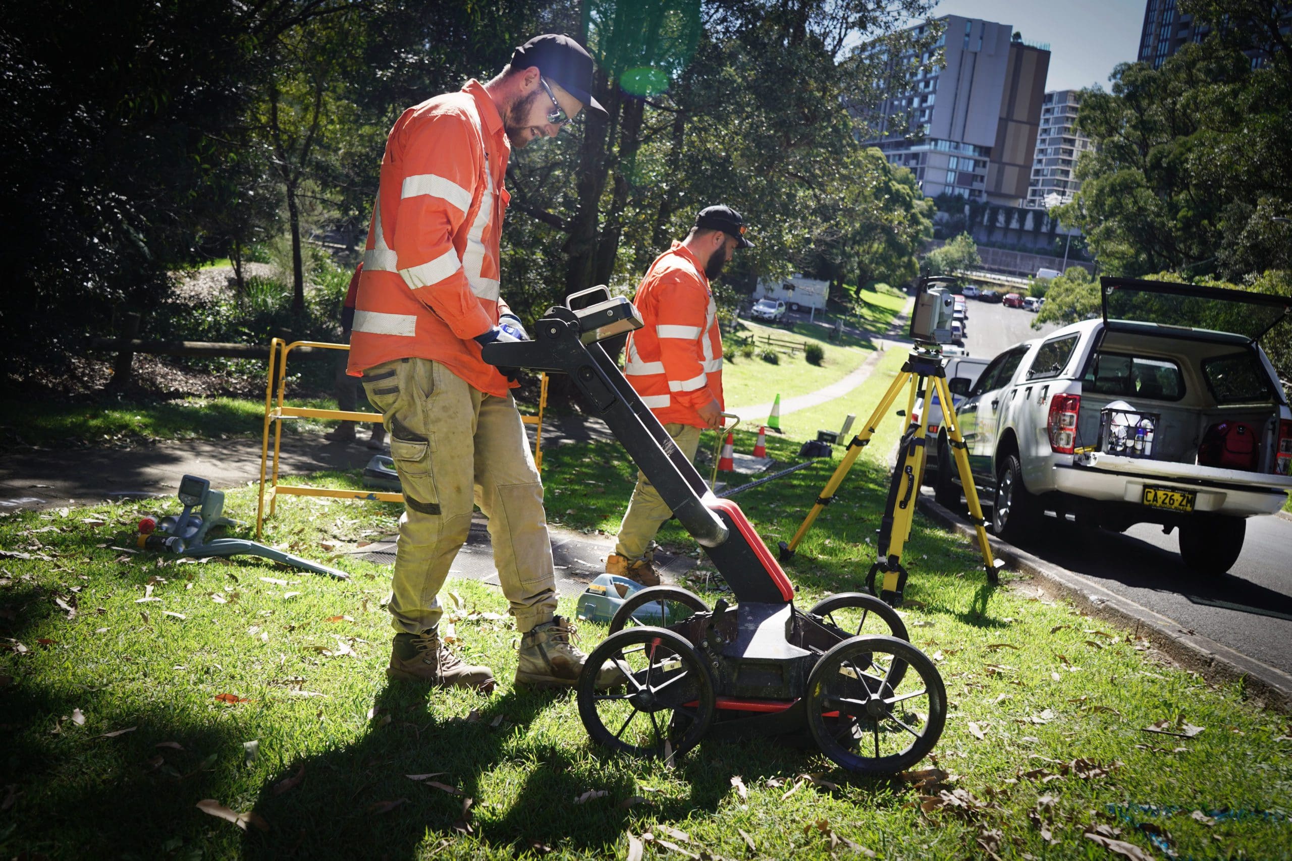
We use electromagnetic induction (EMI) locators for metallic cables and pipes, and ground penetrating radar (GPR) for plastic, concrete and fibre services that EMI cannot see. Every locate follows the Before You Dig Australia (BYDA) process and is classified to the AS5488-2022 quality levels, so your results stand up to principal contractor and council requirements. When a service has to be proven by sight, we expose it with non-destructive digging and record its true depth.
Our team brings more than 140 years of combined experience, holds BYDA, NULCA, Telstra and fibre optic plant locator accreditations, and has worked on major Central Coast infrastructure including the Wyong Town Centre Pacific Highway upgrade.
Why Central Coast Sites Need a Certified Service Locator
BYDA plans show where asset owners believe their networks are. They do not show private services, consumer lines past the property boundary, abandoned pipes, or services laid without accurate records. On the Central Coast that gap is wide. Established suburbs around Gosford, Woy Woy and The Entrance have decades of undocumented private services, while the growth areas around Warnervale, Wadalba and Woongarrah are being dug up for new estates and upgraded networks.
Ground conditions matter too. Sandy coastal soils suit GPR well, but wet ground around Tuggerah Lake and Brisbane Water weakens the radar signal. That is why we never rely on one method: we combine EMI and GPR, and confirm critical services by vacuum excavation.
- Locating to the AS5488-2022 quality levels
- EMI and GPR used together on every site
- Private services, stormwater and sewer traced, not just BYDA assets
- Accredited for Telstra, NBN and fibre optic plant
How We Locate and Mark Underground Services on the Central Coast
EMI Pipe and Cable Locating
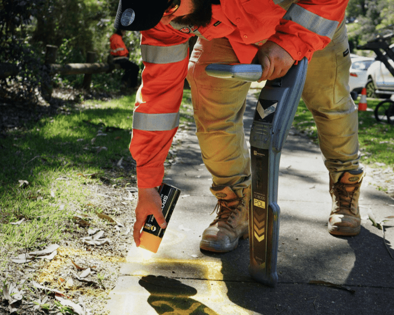
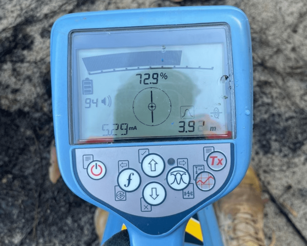
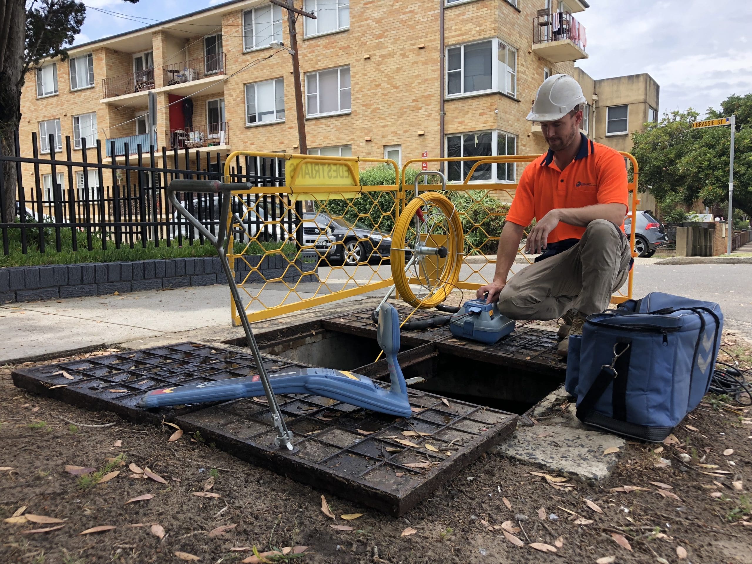
EMI locators detect metallic services such as power cables, copper communications, steel water mains and gas lines, either by picking up their live signal or by applying our own signal to the service. For plastic water, gas and sewer pipes we use GPR, and for drains and conduits we push a rodder or sonde through the line to trace it from pit to pit.
AS5488-2022 Quality Levels
AS5488-2022 sets four quality levels for subsurface utility information, from QL-D (records only) to QL-A (exposed and measured). A typical site locate reaches QL-B, meaning each service has been detected on site and marked. Your report states the quality level achieved for every service, so your designers and site supervisors know how far to trust each line.
Marking and Reporting
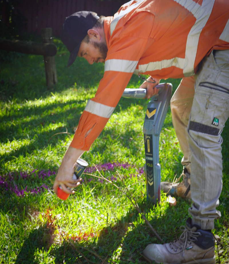
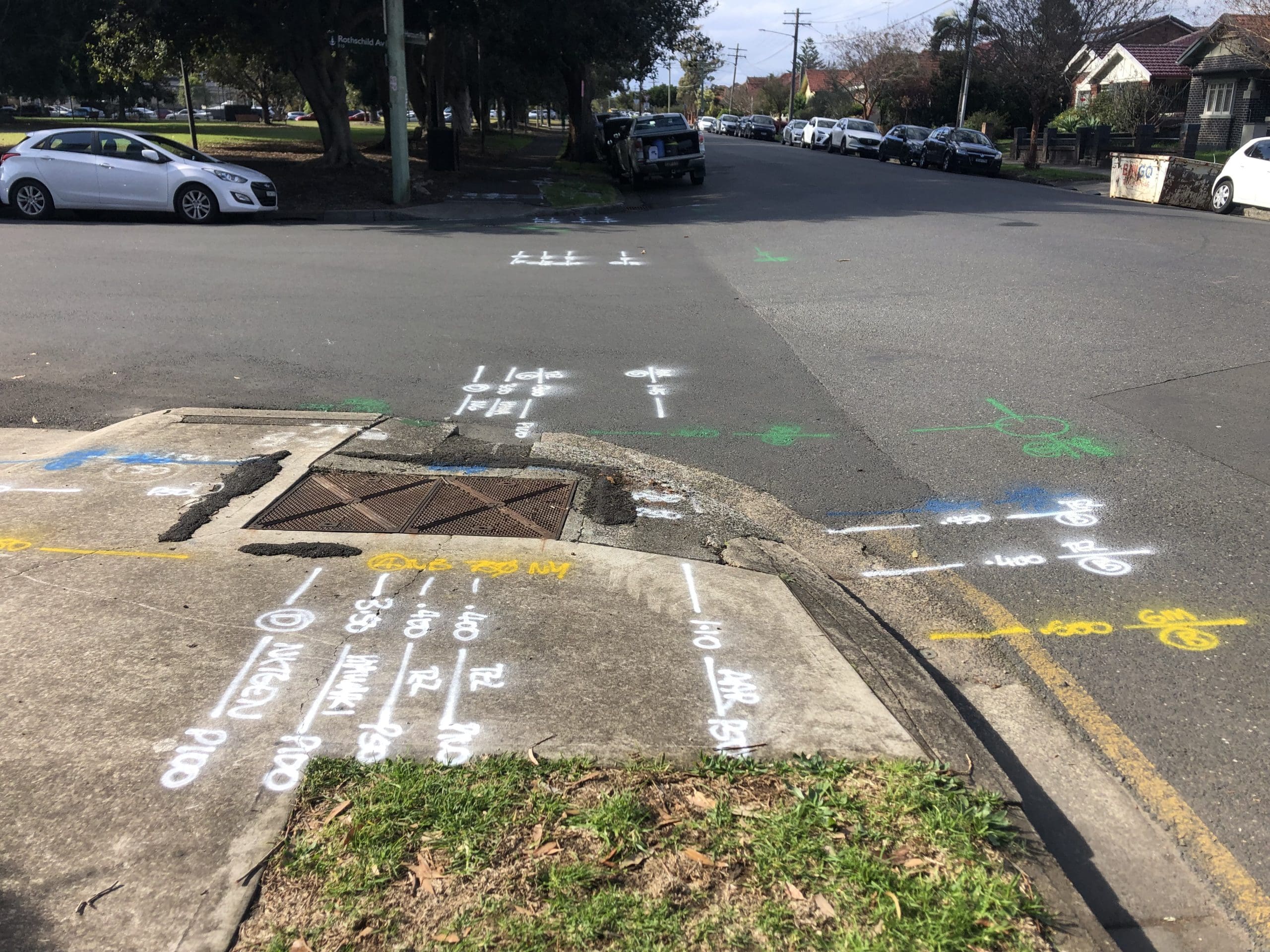
Located services are marked in the industry colour code with paint and flags, then photographed. Every job includes a photo log and a PDF report listing the services found, their type and depth readings.
CAD and DWG Utility Plans
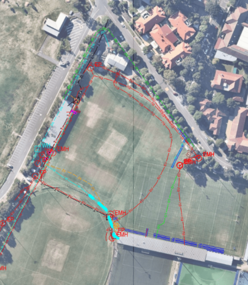
For civil, commercial and design work we deliver utility mapping and reporting in CAD and DWG format, ready for design review, council submissions and as-built records.
QL-A Verification by Vacuum Excavation
Where a service must be proven to QL-A, we expose it with vacuum excavation and record its exact position and depth. Nothing is guessed, and nothing is dug with a machine until it is found.
What Service Locating Can I Book on the Central Coast?
We locate underground services for residential, commercial, industrial and civil projects across the Central Coast. Scanning a slab before you core or cut it is a different job; see our concrete scanning on the Central Coast.
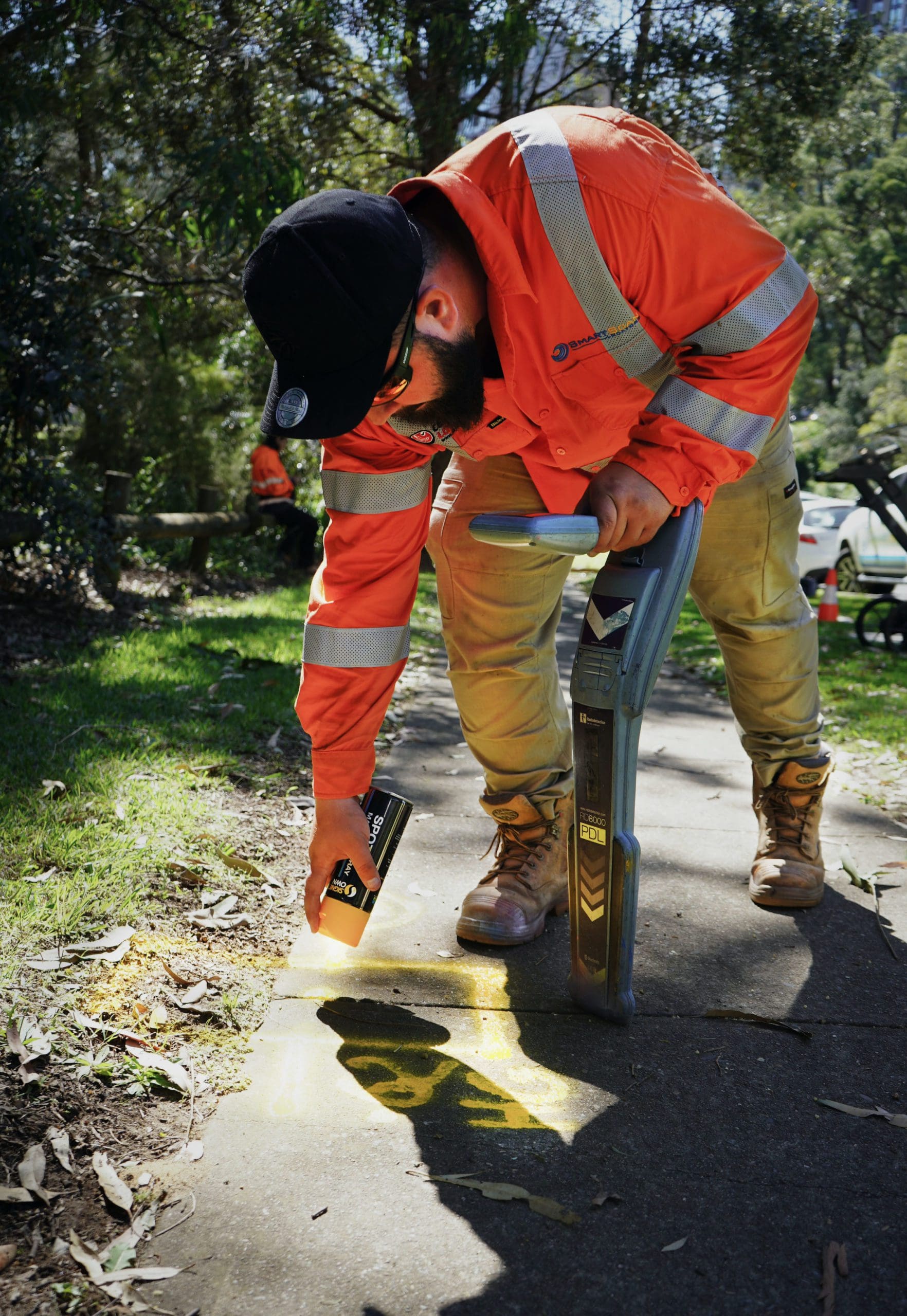
Residential Service Locating
We locate power, water, gas, NBN and stormwater before pools, extensions, retaining walls, fencing, landscaping and new connections, including private lines that BYDA plans never show.
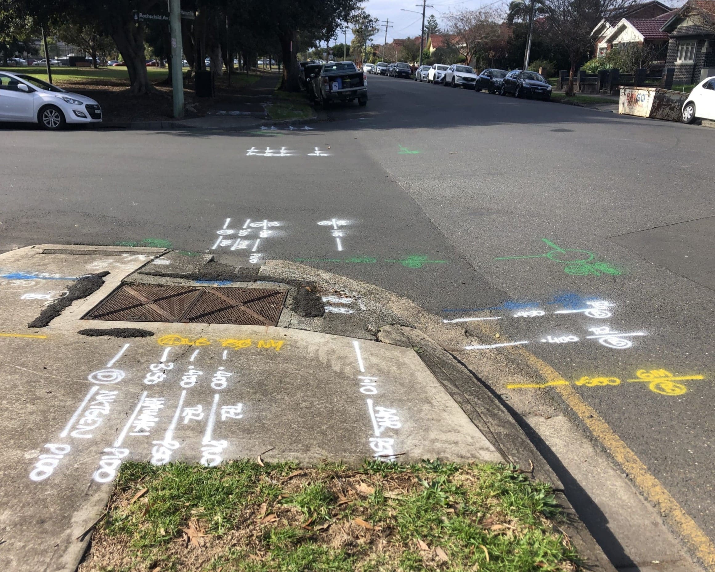
Commercial and Industrial Sites
Multi-service locates for warehouses, retail sites, car parks and service stations, including industrial areas in Somersby, West Gosford, Lisarow and Tuggerah, with CAD reporting when you need it.
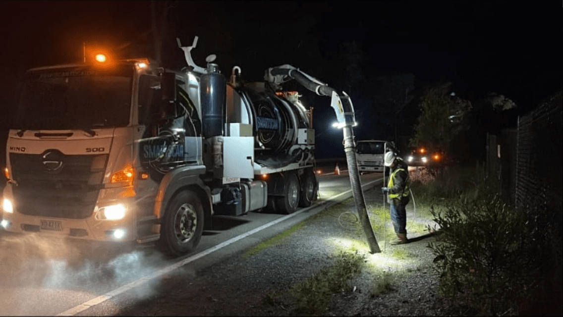
Civil, Rail and Council Works
We work under TfNSW and rail conditions for councils and Tier 1 contractors. On the Wyong Town Centre Pacific Highway upgrade we cleared and potholed services at 225 bore, test pit and CPT locations.
Why Central Coast Contractors Choose Smartscan Locators
AS5488-2022 locating
EMI and GPR equipment
BYDA and NULCA accredited
CAD-ready deliverables
Central Coast coverage
Where We Offer Service Locating on the Central Coast
Smartscan Locators services the whole Central Coast, from the Hawkesbury River to Lake Macquarie. Bookings are taken 24 hours a day, seven days a week, and emergency callouts are available. We cover the wider Central Coast for all of our services, including Gosford.
Gosford, Erina and Terrigal
Established streets and commercial centres where old private services and incomplete records are common.
Wyong, Tuggerah and Warnervale
Growth corridors, new estates and highway works with busy, changing underground networks.
Woy Woy, Umina and The Entrance
Coastal suburbs with sandy soils and high water tables, where EMI and GPR are paired on every job.
Common Questions About Service Locating on the Central Coast
Do I still need a service locator if I have BYDA plans?
Yes. BYDA plans are a starting point, not a locate. They show where asset owners believe their networks are and leave out private services. A service locator confirms what is actually in the ground on your site.
How long does a service locate take?
Most residential locates take one to three hours on site. Larger commercial and civil jobs are scoped and quoted per site, and can run across several days or night shifts.
What services can you locate?
We locate power, NBN and fibre, copper communications, gas, water, sewer and stormwater, as well as private lines such as irrigation, site lighting and cables to outbuildings.
Can you find plastic pipes and fibre?
Yes. GPR detects plastic pipes and conduits, and we trace drains and conduits with a rodder or sonde. Where a service still cannot be confirmed, we expose it by vacuum excavation.
Do you provide CAD utility plans?
Yes. A PDF report with photos is standard on every job, and CAD or DWG utility plans are available for designers, councils and principal contractors.
How quickly can you get to my site?
Most requests can be serviced with a couple of days’ notice. Bookings are accepted 24/7, and emergency callouts are available if you are already on site and stuck.
Is vacuum excavation part of the locate?
Only when the job needs it. A standard locate reaches QL-B. If you need QL-A, we add vacuum excavation to expose and measure each service.
Need a Service Locator
on the Central Coast? Book Today
Book a certified service locator on the Central Coast for a fast response, compliant detection and clear reporting that protects your crew and your project before excavation begins.
Email address
Find Us
Servicing the Central Coast, Sydney and the Illawarra
Call
1300 778 923