Subsurface Utility Engineering Sydney
AS5488 subsurface utility engineering (SUE) for designers, engineers and contractors across Sydney and NSW. From desktop records to QL-A potholing, every service classified and mapped.
Click to contact us or call 1300 778 923
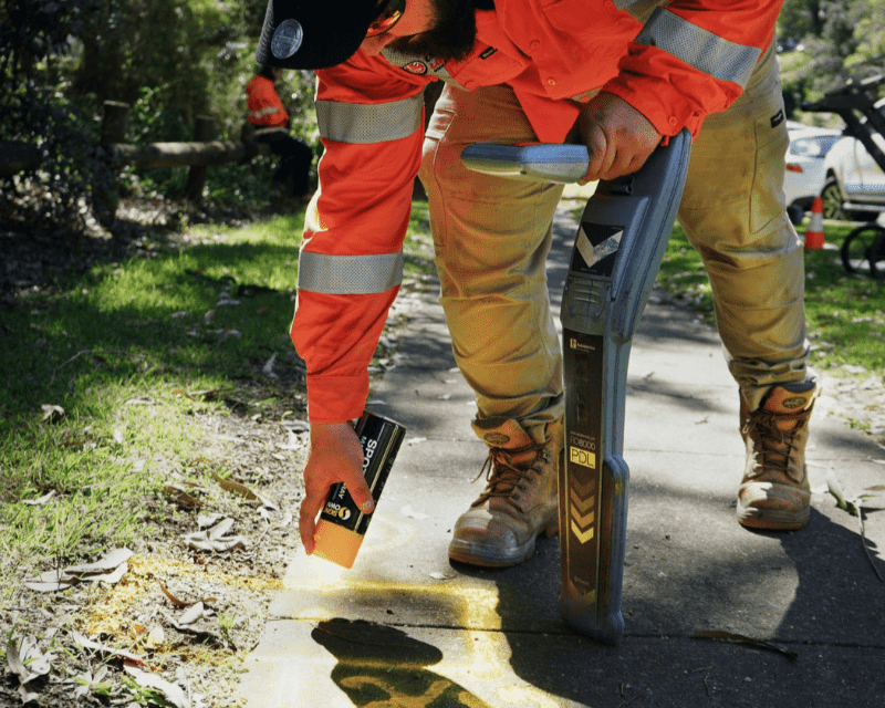
Subsurface utility engineering (SUE) is the process of finding, classifying and mapping underground utilities before design and construction, so engineers can design around what is really in the ground. Smartscan Locators delivers SUE investigations to AS5488-2022, the Australian Standard for classifying subsurface utility information, on civil, rail, airport, water and commercial projects across NSW.
We combine records research, surface feature survey, EMI and GPR designation and non-destructive digging in one team. Every utility in your deliverable is given the quality level that matches the method used to find it, from QL-D through to QL-A, with the metadata the standard requires.
Our team brings more than 140 years of combined experience and holds BYDA, NULCA, Telstra Accredited Plant Locator, fibre optic plant locator and RIICCM202D accreditations. For a detailed explanation of each level, read our guide to SUE quality levels under AS5488.
Why Projects Need SUE Before Design
BYDA plans are QL-D information. They show where asset owners believe their networks are, carry no spatial tolerance, and leave out private services entirely. Designing a road, pipeline, building or rail upgrade from records alone is one of the main causes of utility strikes, redesigns and cost overruns on NSW projects.
SUE replaces assumption with evidence. Scoped early, it shows where services clash with your design while changes are still cheap, and it gives your SWMS and permits a documented record of the quality level relied on before excavation starts.
- Investigations scoped to the AS5488-2022 quality levels
- EMI and GPR designation across the whole site
- QL-A potholing at critical crossings
- CAD, DWG and 3D deliverables for design teams
How We Deliver SUE to AS5488-2022
QL-D Records Research
We start with BYDA plans, as-built drawings, GIS data and client records to build a picture of what should be on site, and to flag gaps and conflicts between sources.
QL-C Surface Feature Survey
Pits, valves, hydrants, gas risers and pole dip points are located and surveyed, then matched against the records. Mismatches show where the QL-B investigation needs to focus.
QL-B Geophysical Designation
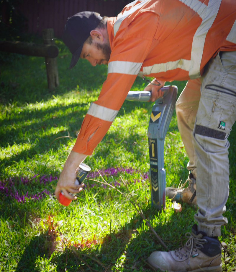
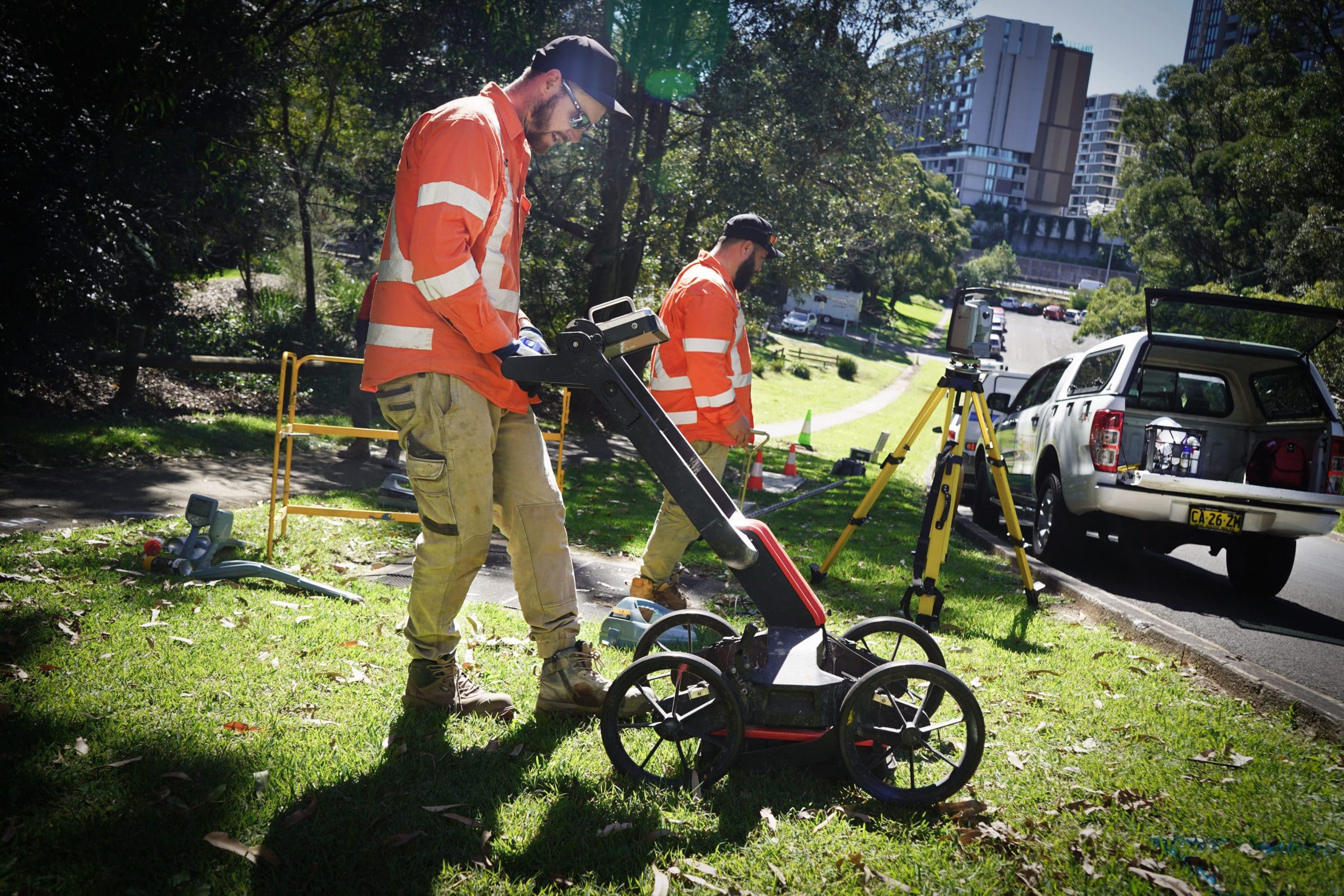
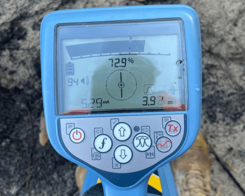
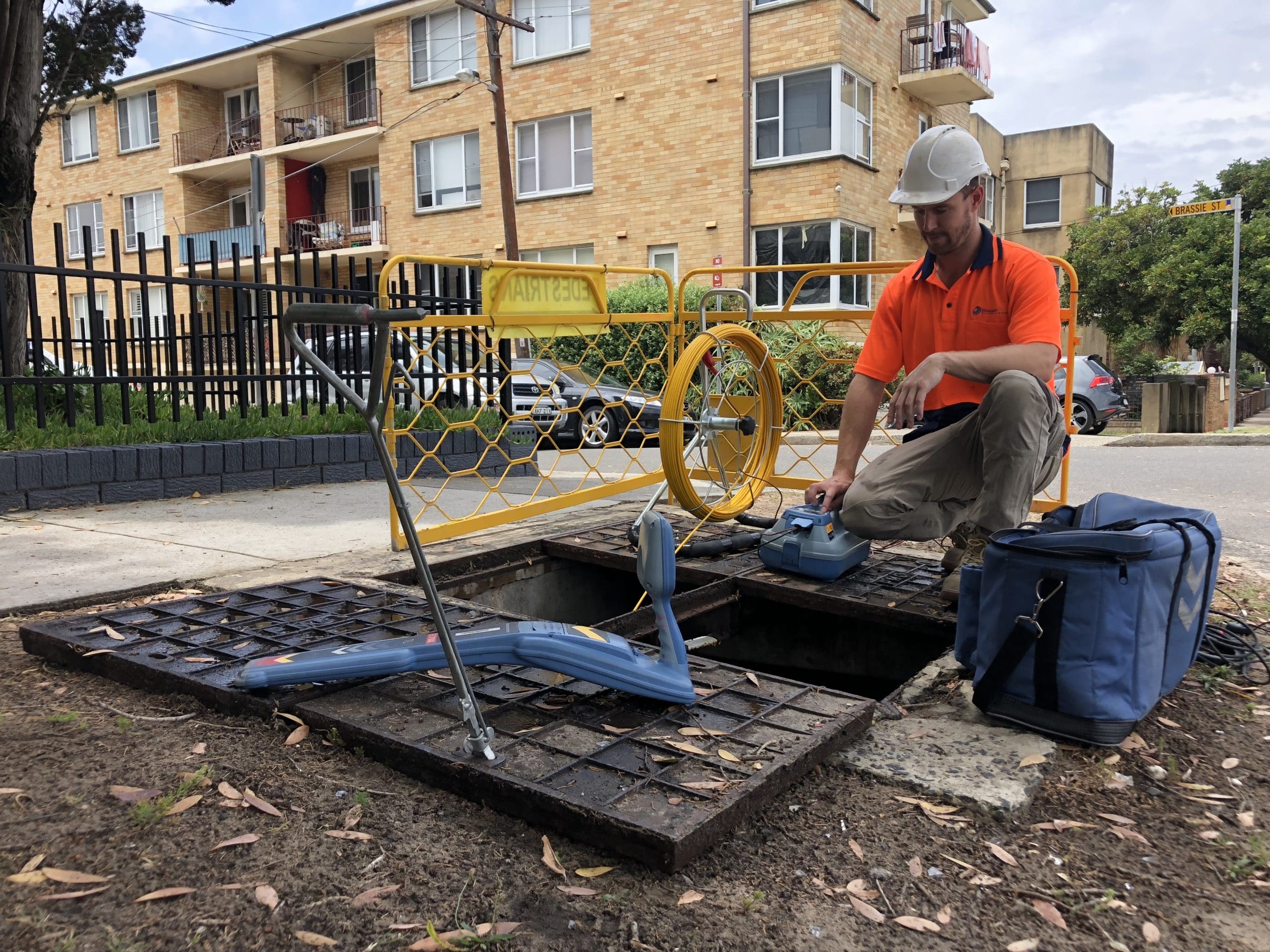
Our locators trace services with Radiodetection RD8000 and Vivax Vloc3 EMI locators, Flexi Trace rods and sondes, and map non-metallic services with Mala and Leica GPR. QL-B positions sit within 300 mm horizontally and 500 mm vertically.
QL-A Potholing Verification
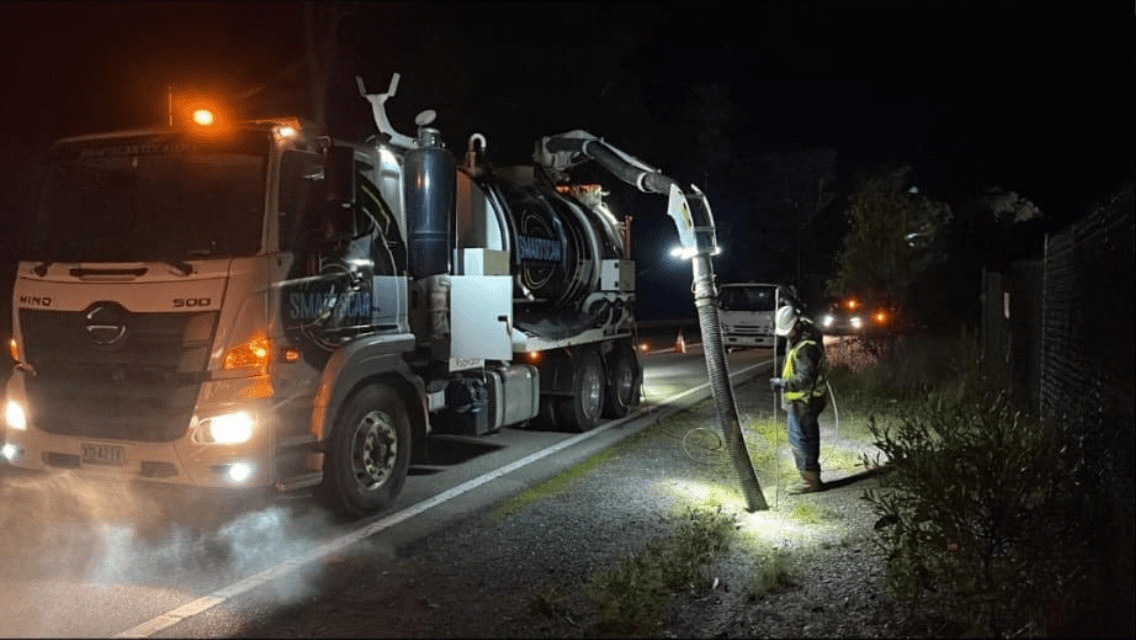
At critical points, our non-destructive digging crews expose each service and measure its 3D position to within 50 mm, recording type, material, size and condition.
AS5488 Reporting and Mapping
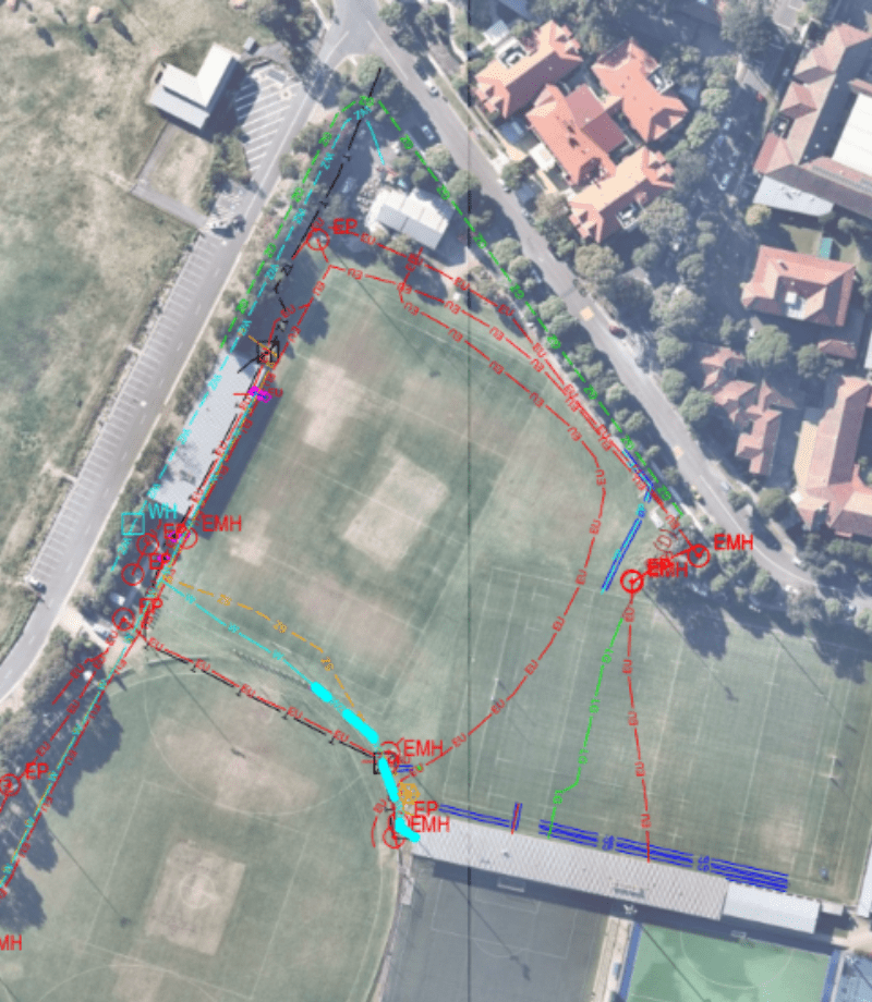
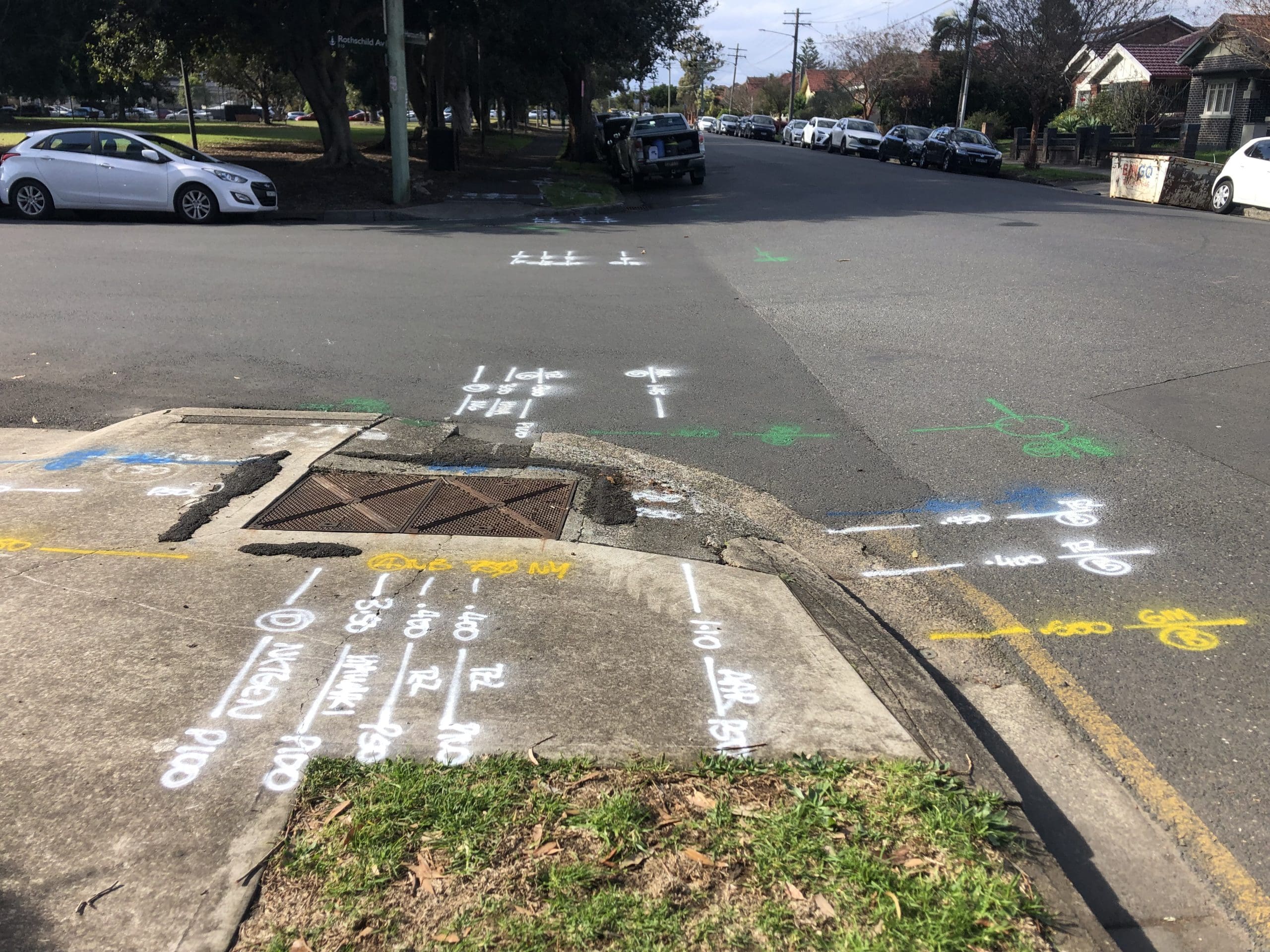
Each utility is shown with its quality level, detection method and capture date. Deliverables range from marked-up site photos to CAD and DWG utility plans, 3D models, cross sections and clash detection.
Which SUE Quality Level Does My Project Need?
The right level depends on your project stage and how close construction comes to existing services. We scope the investigation with you, so QL-A potholing is used only where it is needed. For a simple mark-out before you dig, book a service locator in Sydney instead.

Feasibility and Route Selection
QL-D and QL-C give a desktop and surface baseline, so you can assess utility congestion and choose routes before design starts.

Preliminary and Detailed Design
QL-B designation maps every detectable service horizontally, so new infrastructure can be routed around existing assets before the design is locked.
Pre-Construction and Critical Crossings
QL-A potholing at high-risk points such as high voltage cables, gas mains and fibre, and wherever excavation comes close to a service.
Why Engineers and Contractors Choose Smartscan for SUE
AS5488-2022 reporting
EMI, GPR and NDD in one team
BYDA and NULCA accredited
CAD and 3D deliverables
NSW-wide projects
SUE Projects Across Sydney and NSW
We have delivered utility investigations on some of the state’s largest projects, and we work across Sydney, the Central Coast, the Blue Mountains and the Illawarra. Bookings are taken 24 hours a day, seven days a week.
Western Sydney Airport
Around 700 borehole, test pit and structure locations, with every asset within 5 m potholed and mapped after QL-B locating. See the airport project
M6 Motorway, Rockdale
More than 500 locations cleared for the geotechnical investigation, using an online permit system to avoid repeat investigations. See the M6 project
Rouse Hill Water Recycling Plant
Utility mapping, NDD verification and a 3D model of a congested treatment plant, with potholes to 3.4 m. See the Rouse Hill project
Common Questions About Subsurface Utility Engineering
What is subsurface utility engineering?
SUE is a structured investigation that locates, classifies and maps underground utilities so they can be managed during design and construction. In Australia it is carried out to AS5488-2022.
What are the AS5488 quality levels?
QL-D is records only, QL-C adds surveyed surface features, QL-B detects services with EMI and GPR, and QL-A exposes and measures them. Each level builds on the one before.
Is a service locate the same as SUE?
A standard service locate marks services on the ground before you dig, usually to QL-B. SUE covers the whole investigation, from records research to QL-A verification, with a classified deliverable for design.
When do I need QL-A?
Where excavation comes close to critical services such as high voltage cables, gas mains or fibre, where depth is needed for deep foundations or boring, and where QL-B results conflict with the records.
What will I receive?
A report that gives every utility its quality level, detection method and capture date, plus CAD or DWG plans. 3D models with cross sections and clash detection are available for complex sites.
Can QL-A always be achieved?
Not always. Services bored deep through rock or encased in concrete may be out of reach of vacuum excavation. AS5488 then requires the level actually achieved to be reported, and we state it clearly.
Do you work for designers and consultants?
Yes. We work for engineering consultants, designers, project managers, geotechnical teams and Tier 1 contractors, and can manage permits and investigation programs on large projects.
Need Subsurface Utility
Engineering? Talk to Us
Talk to Smartscan Locators about scoping an AS5488 investigation for your project, from early feasibility to QL-A verification before construction.